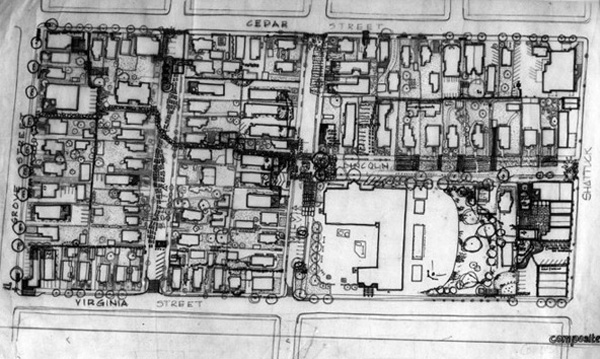
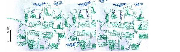
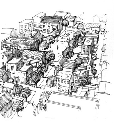
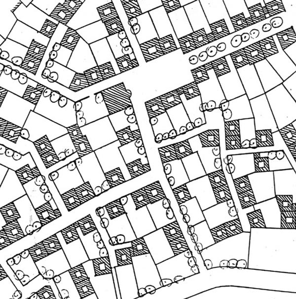
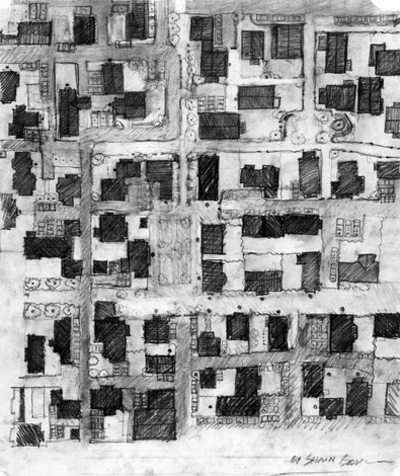
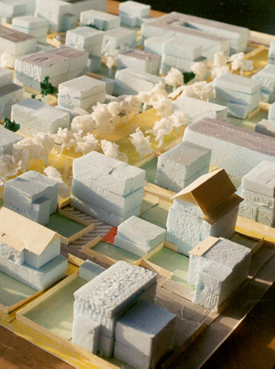
Doing things in the right order when you decide the way the community of houses will sit on the land controls the wholeness of the new community. In some cases the "right" order is highly unexpected.

A layout plan of a community of houses

100 Houses

This sequence will show you some of the aspects of the design sequence which must be done very early on. If you only follow the sequence, the community—and, probably, its surrounding neighborhoods too—will be much, much, better.

Map of neighborhood
LAYOUT SEQUENCE FOR 100 HOUSES

These are the steps you will follow in making your 100 house community:

  1. STEP 1: ROUGHLY LOCATE WHERE THE SWATHS OF HOUSES ARE
  2. STEP 2: PLACE AGRICULTURAL/PARKLAND RIBBONS
  3. STEP 3: PLACE HOUSING RIBBONS
  4. STEP 4: IDENTIFY TREES AND BUSHES AND NATURAL BEAUTIES
  5. STEP 5: IDENTIFY THE BUILDINGS WHICH WILL BE TORN DOWN
  6. STEP 6: PLACE NEIGHBORHOOD CENTERS
  7. STEP 7: LOCATE NATURAL WATERCOURSES
  8. STEP 8: PLACE GARDENS AS CENTERS
  9. STEP 9: PLACE BUILDABLE HOUSE POSITIONS AS CENTERS
  10. STEP 10: PLACE SMALL SCALE LANES AS CENTERS
  11. FINISH
Map of neighborhood
STEP 1:

ROUGHLY LOCATE WHERE THE SWATHS OF HOUSES ARE

Houses are to be placed in alternation with agricultural land or parkland.

A beautiful unbuilt space
STEP 2:

PLACE AGRICULTURAL/PARKLAND RIBBONS

Roughly, the parkland/agricultural land is to be in ribbons at least 3-400 feet wide, possible as much as 600 feet wide in places.

Map of neighborhood
STEP 3:

PLACE HOUSING RIBBONS

Houses are also in ribbons about 2-400 feet wide.

Dogwood tree
STEP 4:

IDENTIFY TREES AND BUSHES AND NATURAL BEAUTIES

The places which are precious and must be kept or enhanced, are to be identified.

Map of neighborhood
STEP 5:

IDENTIFY THE BUILDINGS WHICH WILL BE TORN DOWN

Sites of buildings that will be demolished are natural places for construction—since already damaged as far as nature is concerned.

Map of neighborhood
STEP 6:

PLACE NEIGHBORHOOD CENTERS

Find natural places where beautiful buildings, or spots of special natural beauty, view, vegetation, demand a center which serves people from hundreds of yards around.

Map of neighborhood
STEP 7:

LOCATE NATURAL WATERCOURSES

Small neighborhood gardens
STEP 8:

PLACE GARDENS AS CENTERS

Find all natural beauties. Mark them. Include them either in a garden lot, or in a small pedestrian path. Draw each garden lot about 50 feet by 50 around each one. Some can be smaller. Some can be larger.

Model of neighborhood
STEP 9:

PLACE BUILDABLE HOUSE POSITIONS AS CENTERS

Adjacent to each garden lot, make a house lot. This is also a roughly square parcel.

Map of neighborhood
STEP 10:

PLACE SMALL SCALE LANES AS CENTERS

Adjacent to each house make a small pedestrian land. It can be as narrow as 2-3 meters; other can be up to 5 meters wide (this will later allow a parked car to stand there).